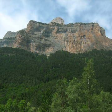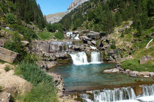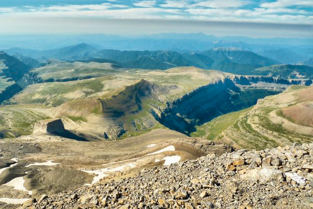


The Pyrenees-Mont Perdu site, listed as a UNESCO World Heritage Site since 1997 for its natural and cultural landscapes, is a vast mountain range straddling the border between Spain and France.
It consists of part of the Pyrenees National Park, the cirques of Gavarnie, Estaubé, Troumouse and Barroude, and some areas located on the outskirts of the park in the municipalities of Aragnouet, Gavarnie and Gèdre, as well as the Ordesa y Monte Perdido National Park in Aragon and some adjacent areas in the territories of Bielsa, Fanlo, Puértolas, Tella-Sin, and Torla.
This site, with a total area of 30,639 hectares, includes two of the largest and deepest canyons in Europe on the southern slope, on the Spanish side, and three important cirques on the steeper northern slope, on the French side.
It also offers a pastoral landscape that reflects a way of life once widespread in the mountainous regions of Europe but which remained unchanged in the 20th century in this one place in the Pyrenees.
It provides valuable evidence of European society in the past through its landscape of villages, farms, fields, high pastures, and mountain roads.
https://whc.unesco.org/fr/list/773/
Translated with DeepL.com
(free version)